Open Source Intelligence Gathering Practice 2
Hi, throughout this repository you’ll find information on Open Source Intelligence Gathering that I hope can provide anyone with assistance to better their skills. I have the intention on publishing these on Medium, so be on the lookout for that.
Useful Links
Tools Used
Problem
Welcome to OSINT exercise #002!
Task briefing: The photo below was shared on social media. It clearly depicts a train station. Please answer the following questions:
a) What is the name of the train station seen in the photo? Flinders Street Railway Station
b) What is the name and height of the tallest structure seen in the photo? Eureka Tower (297.3 m)
Exercise level: For beginners: a) Easy, b) Hard For experts: a) Easy, b) Medium
Solution + Thought Process
In the photo that we are given for this challenge, we are actually given a decent amount of information to get us started. We see that “Flinders Street” is showcased 3 times, so let’s take a look into. Let’s even include a railway in our search…
Upon googling the phrase “Flinders Street railway station”, we are actually shown a Wikipedia page with the exact title. This has to be the location in the picture right?
It may not be evident at first that this is the correct place, but we can quickly find pictures online that point to the IBM building in the photo being directly behind the train station as seen. Now that we have the correct location in the photo, we are able to conclude Part A of the problem…
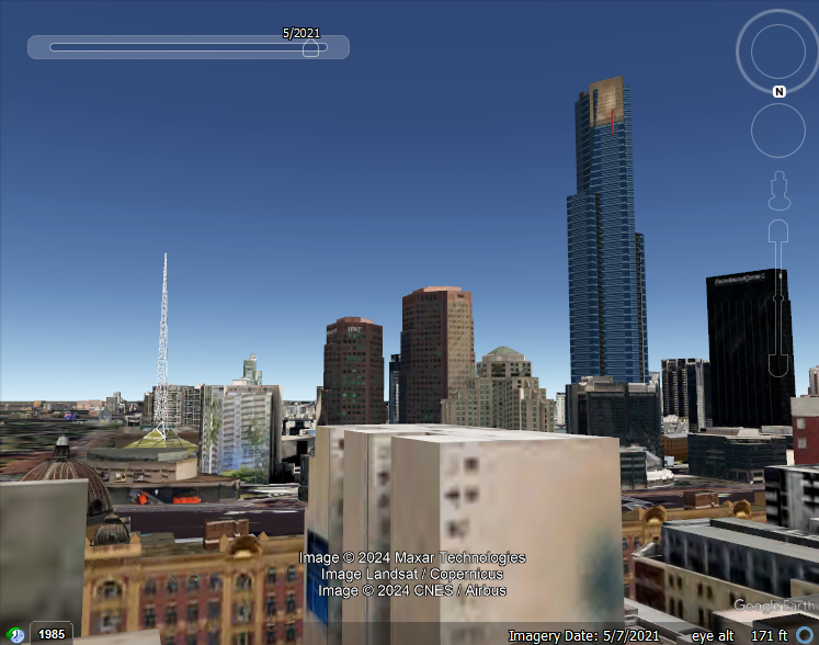
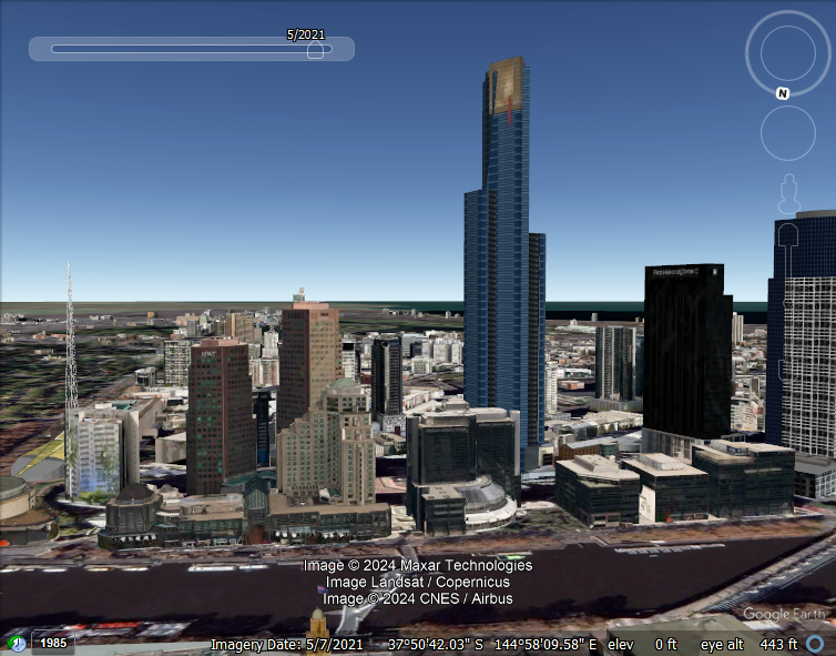
At first glance, the example photo given shows that the biggest building appears to be the IBM Tower. Due to the perspective, this is a little misleading. I decided to crack open Google Earth to get a good scale of this area. Let’s grab the coordinates of the railway station from the Wiki page and travel to Austrailia…
- As with the previous exercise, we can get familiar with the area and scroll around to see the structure of the landscape. Luckily, this area has 3D buildings that give real life scale. We can clearly see what the tallest building is in the tool, but let’s get a closer look to make sure.
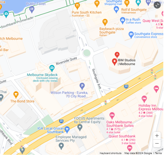
- I did a little research on the IBM tower just out of curiosity. I know it isn’t the building of interest, but it ended up revealing a pathway to discover what the building was next to it. I stumbled across the Google maps, which gave an aerial shot of the IBM Tower, as well as the tower next to it.
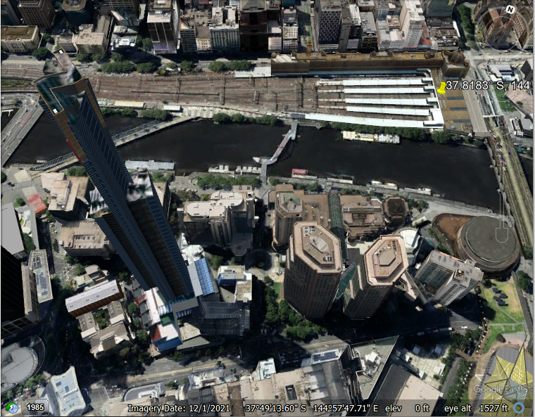
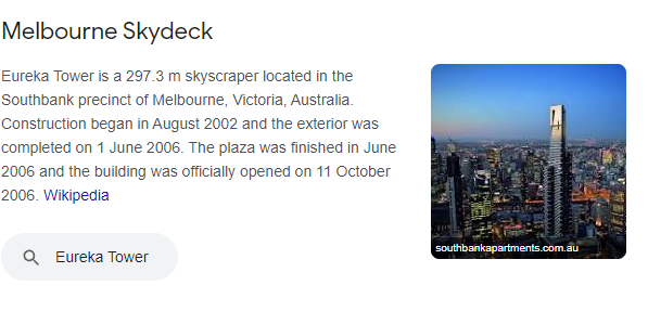
- Hmmmm… Could Melbourne Tower possibly be the correct one? I compared an aerial shot from Google Earth to ensure that this was the tallest tower in the previous photos, and indeed it was! I did some more google searching on the “Melbourne Skydeck”, and came across some revealing information…
- Well would you look at that, a simple goolge search of the Melbourne Tower gave us the name as well as its height in meters. This is the answer to Part B


Comments powered by Disqus.